
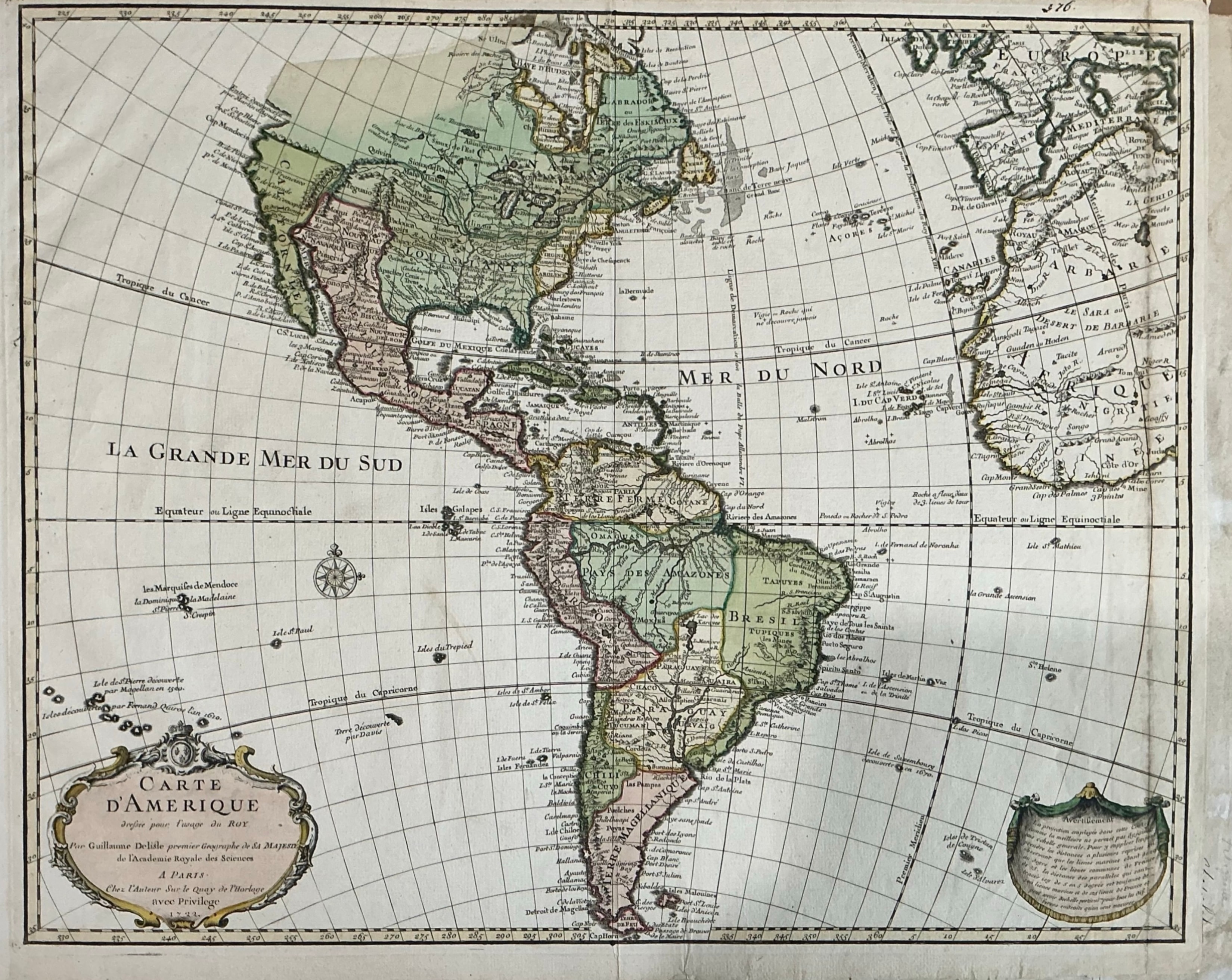
Guillaume De L'Isle
Carte d'Amérique
1722 · Hand-colored engraving
A magnificent hand-colored engraving of the Americas by Guillaume De L'Isle, Premier Géographe du Roi and one of the most influential cartographers of the 18th century. Published in Paris, this map represents a landmark in the scientific cartography of the New World, incorporating the most current geographic knowledge of the period. The map covers both North and South America with exceptional detail — showing Louisiana, New France, the Great Lakes, the Caribbean, and the full extent of South America. An elegant cartouche in the lower left bears the full title and publication details. Original hand coloring in soft greens, pinks, and yellows. A map of the highest cartographic importance.
Dimensions: Page size 26 1/2 x 20 1/2 inches. Plate size 19 1/2 x 24 1/2 inches.
Carolina Antique Maps & Prints · Charleston, SC
(843) 722-4773 · Tuesday–Saturday 11am–4pm or by appointment