
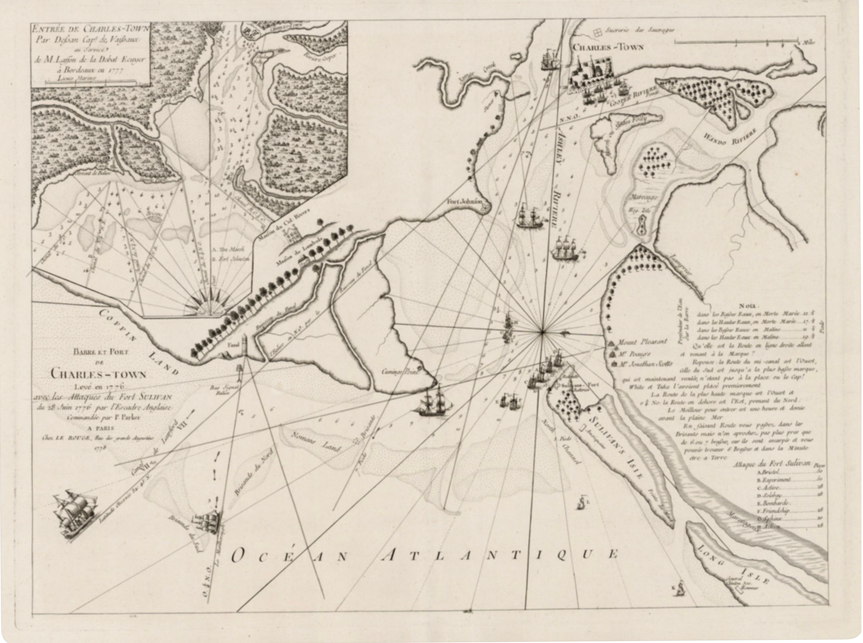
Degban, Capne. de Vaissaux; published by Georges-Louis Le Rouge, Paris
Barre et Port de Charles-Town
1778 · Engraving
A rare and historically important French edition of a British nautical chart depicting the entrance to Charleston Harbor, published in Paris by Georges-Louis Le Rouge in 1778. The chart documents the British naval attack on Fort Sullivan (later Fort Moultrie) on June 28, 1776 — one of the first significant American victories of the Revolutionary War. The plan shows the harbor entrance, the bar, Fort Sullivan on Sullivan's Island, Fort Johnson, and the positions of the British fleet. Drawn by Degban, Captain of the French Navy, this chart reflects the intense French interest in the American Revolution and its military engagements. Le Rouge was the foremost publisher of military and geographic maps in 18th-century Paris, and his editions of American Revolutionary War charts are among the most sought-after documents of the period. An exceptional piece of Charleston and American Revolutionary War history of the greatest local significance.
Dimensions: Contact for dimensions
Carolina Antique Maps & Prints · Charleston, SC
(843) 722-4773 · Tuesday–Saturday 11am–4pm or by appointment