
Mercator / Hondius
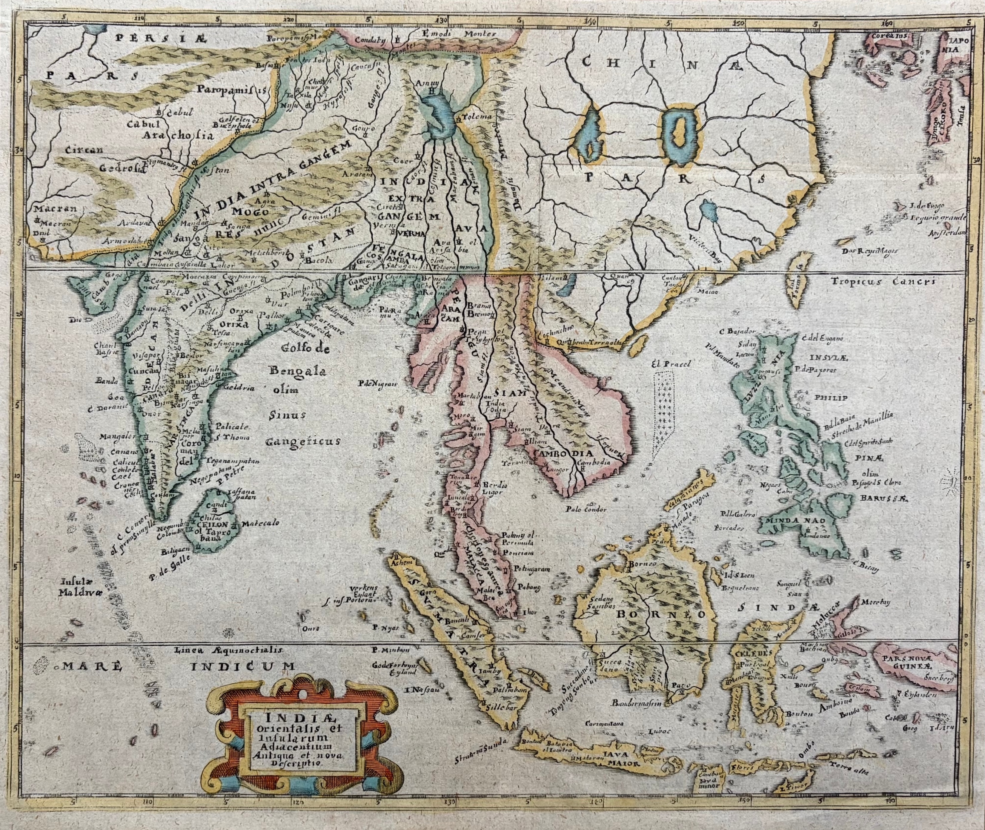
Indiae Orientalis et Insularum Adiacentium Antiqua et Nova Descriptio
c. 1606 · Hand-colored engraving
$375Very Good
A superb hand-colored engraving of Southeast Asia from the celebrated Mercator-Hondius Atlas, one of the most important atlas series of the early 17th century. The map covers India, the Bay of Bengal, the Malay Peninsula, Indochina (Cambodia, Siam), the Philippine Islands, Borneo, Java, and the Spice Islands (Moluccas). The elaborate cartouche in the lower left bears the full title in Latin. Original hand coloring highlights the regional divisions in soft greens, pinks, and yellows. A magnificent example of the golden age of Dutch cartography.
Condition: Bright original hand coloring. Clean and fresh.
Dimensions: 8 x 10 3/4 inches.
Carolina Antique Maps & Prints · Charleston, SC
(843) 722-4773 · Tuesday–Saturday 11am–4pm or by appointment