
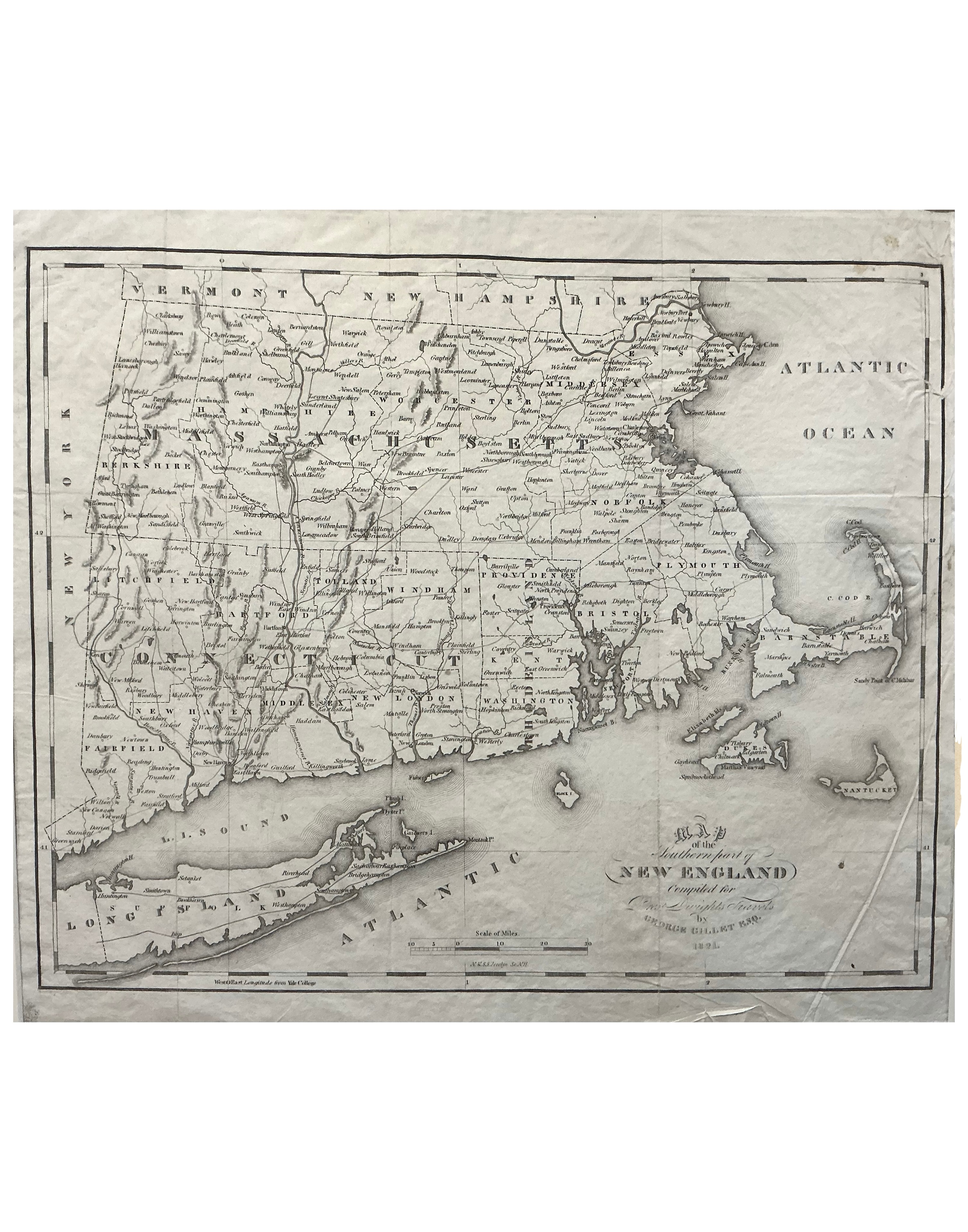
Gideon Billet
Map of the Southern Part of New England
1825 · Engraving
A rare and detailed engraved map of the southern portion of New England — covering Massachusetts, Connecticut, Rhode Island, and portions of New York, Vermont, and New Hampshire — compiled for One Dwight Travels by Gideon Billet, Esq., 1825. The map shows an exceptional density of town and county names, roads, rivers, Long Island Sound, Cape Cod, Nantucket, and the Atlantic coastline with great precision. The cartouche in the lower right gives the full title in elegant script. Uncolored as issued, with the fine line engraving characteristic of early American cartographic work. A scarce and geographically detailed map of the New England states in the early Republic period.
Dimensions: Plate size 13 1/2 x 11 1/2 inches.
Carolina Antique Maps & Prints · Charleston, SC
(843) 722-4773 · Tuesday–Saturday 11am–4pm or by appointment