
A. Finley
North Carolina
c. 1827 · Hand-colored engraving
$450Very Good
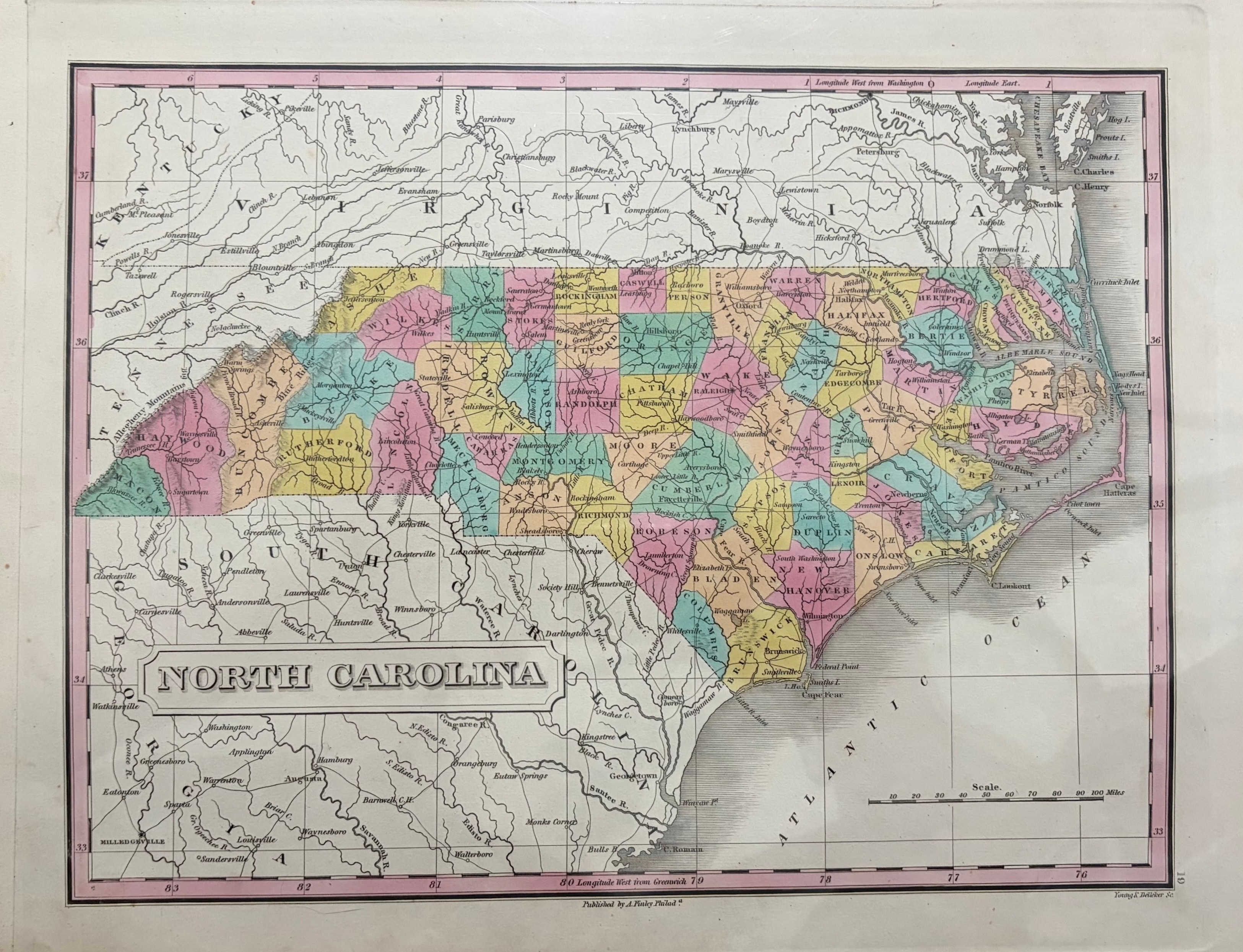
A handsome hand-colored engraving of North Carolina published by Anthony Finley of Philadelphia, one of the leading American atlas publishers of the early 19th century. The map shows the state with county divisions rendered in pastel hand coloring — pink, yellow, green, and blue — with rivers, towns, and coastal features carefully delineated. Engraved by Young & Delleker. From Finley's New American Atlas. A fine example of early American cartography in excellent original condition.
Condition: Bright original hand coloring. Clean margins.
Dimensions: Page size 10 1/4 x 13 1/8 inches. Plate size 9 3/4 x 12 1/4 inches.
Carolina Antique Maps & Prints · Charleston, SC
(843) 722-4773 · Tuesday–Saturday 11am–4pm or by appointment