
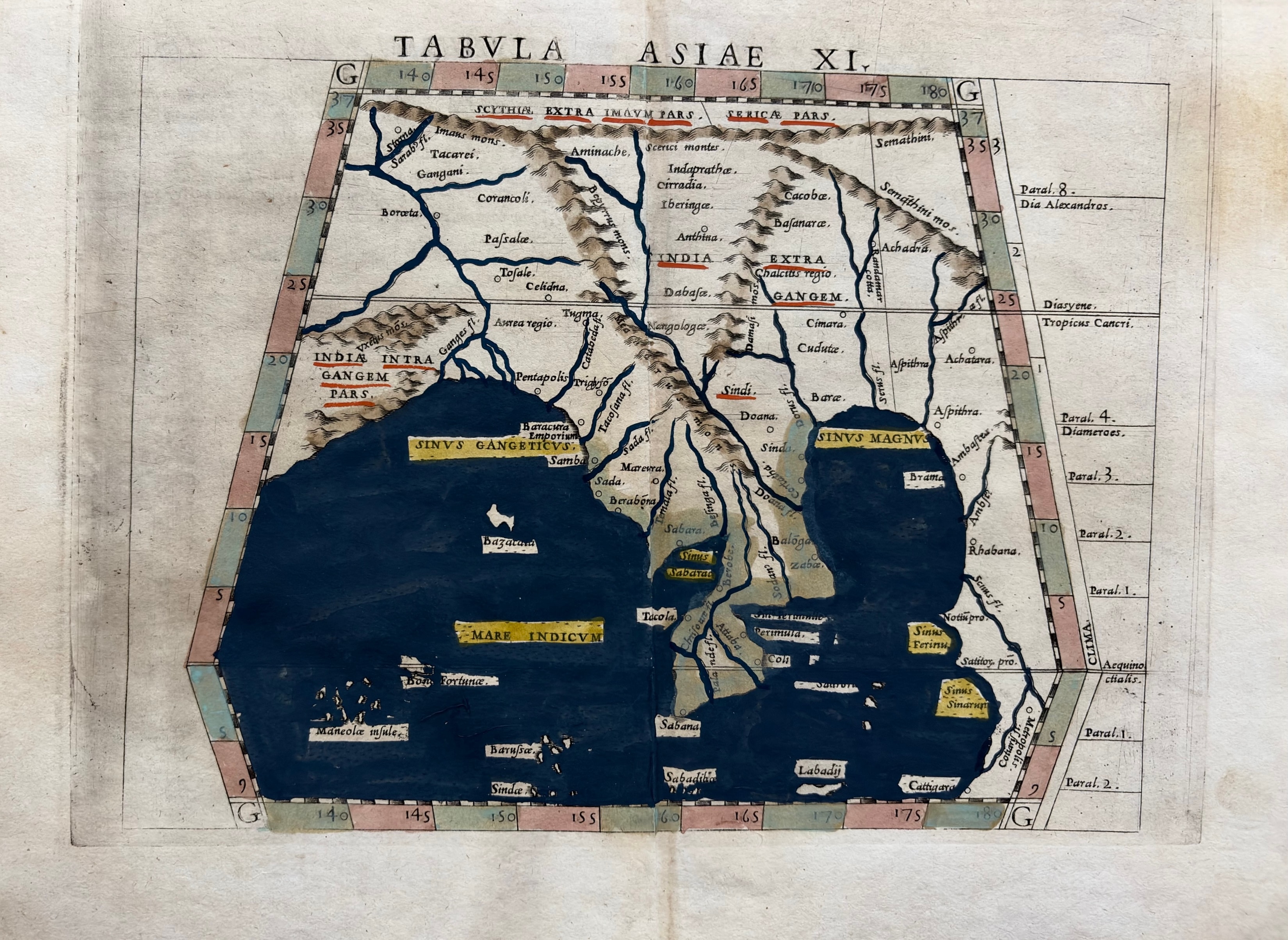
Claudius Ptolemy / Sebastian Münster
Tabula Asiae XI
c. 1540 · Hand-colored woodcut
A rare and important hand-colored woodcut map of Southeast Asia — Tabula Asiae XI — from Sebastian Münster's edition of Ptolemy's Geographia, one of the foundational works of Renaissance cartography. The map depicts the Indian subcontinent, the Bay of Bengal (Sinus Gangeticus), the Malay Peninsula, and the Sinus Magnus (South China Sea) according to Ptolemaic geography. The deep blue-black sea contrasts dramatically with the hand-colored land masses. Yellow highlighting marks key place names and geographic features. A map of exceptional age and scholarly importance, representing the classical geographic tradition as transmitted through the Renaissance.
Dimensions: 9 x 12 inches.
Carolina Antique Maps & Prints · Charleston, SC
(843) 722-4773 · Tuesday–Saturday 11am–4pm or by appointment