
J. Andriveau-Goujon
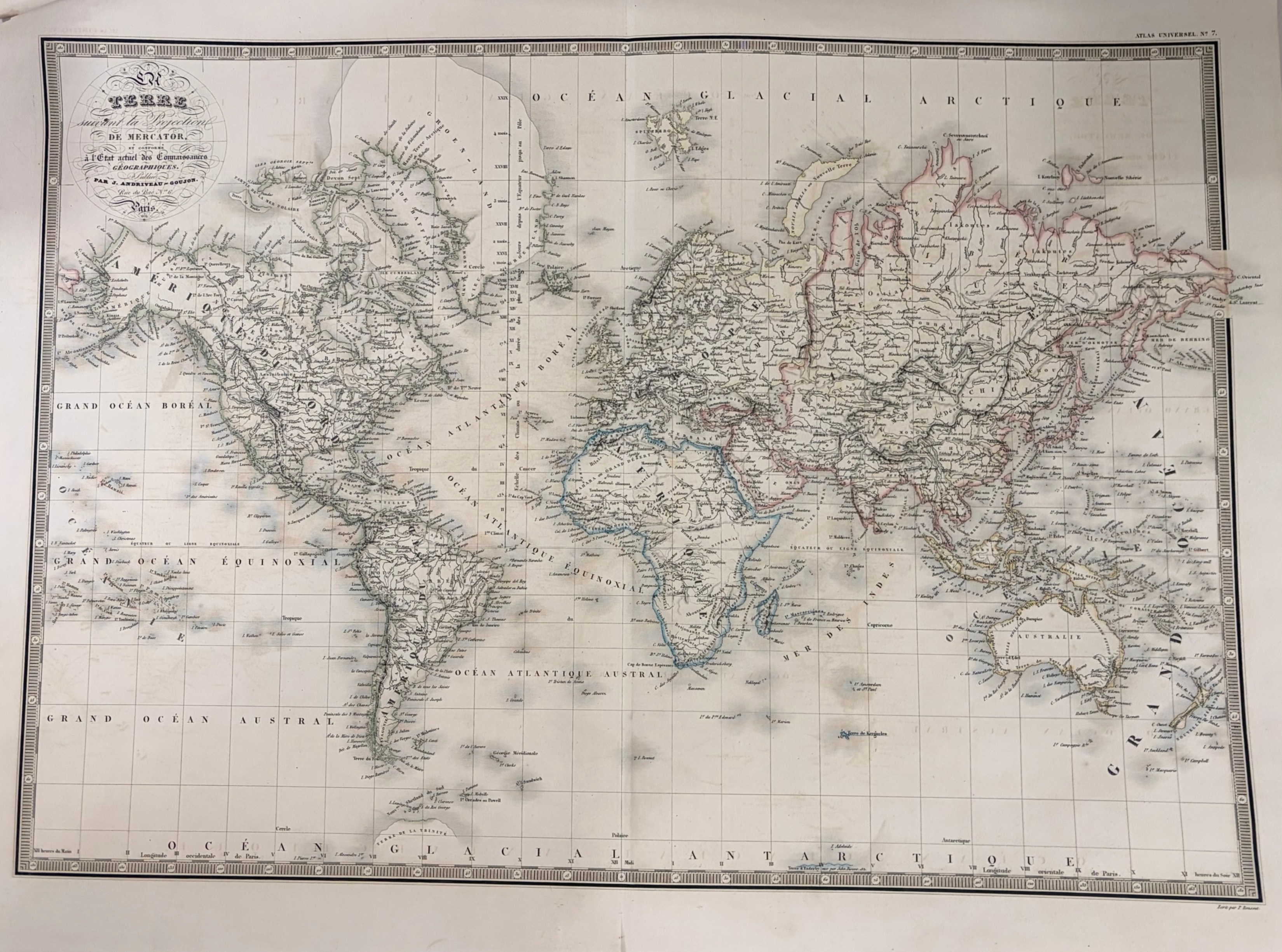
Terre suivant la Projection de Mercator
c. 1835 · Engraving with original outline coloring
A large and impressive world map on Mercator's projection by J. Andriveau-Goujon, one of the leading French cartographic publishers of the early 19th century. Published in Paris as Plate 7 of the Atlas Universel, this map presents the entire world with exceptional geographic detail — showing the continents, major rivers, mountain ranges, and political boundaries as understood in the 1830s. Original outline coloring in blue, pink, and green highlights the continental and national boundaries. The map is uncolored in the interior as issued, giving it a clean, scholarly appearance. A large and impressive sheet in fine condition.
Dimensions: Sheet size 25 1/2 x 19 inches.
Carolina Antique Maps & Prints · Charleston, SC
(843) 722-4773 · Tuesday–Saturday 11am–4pm or by appointment