
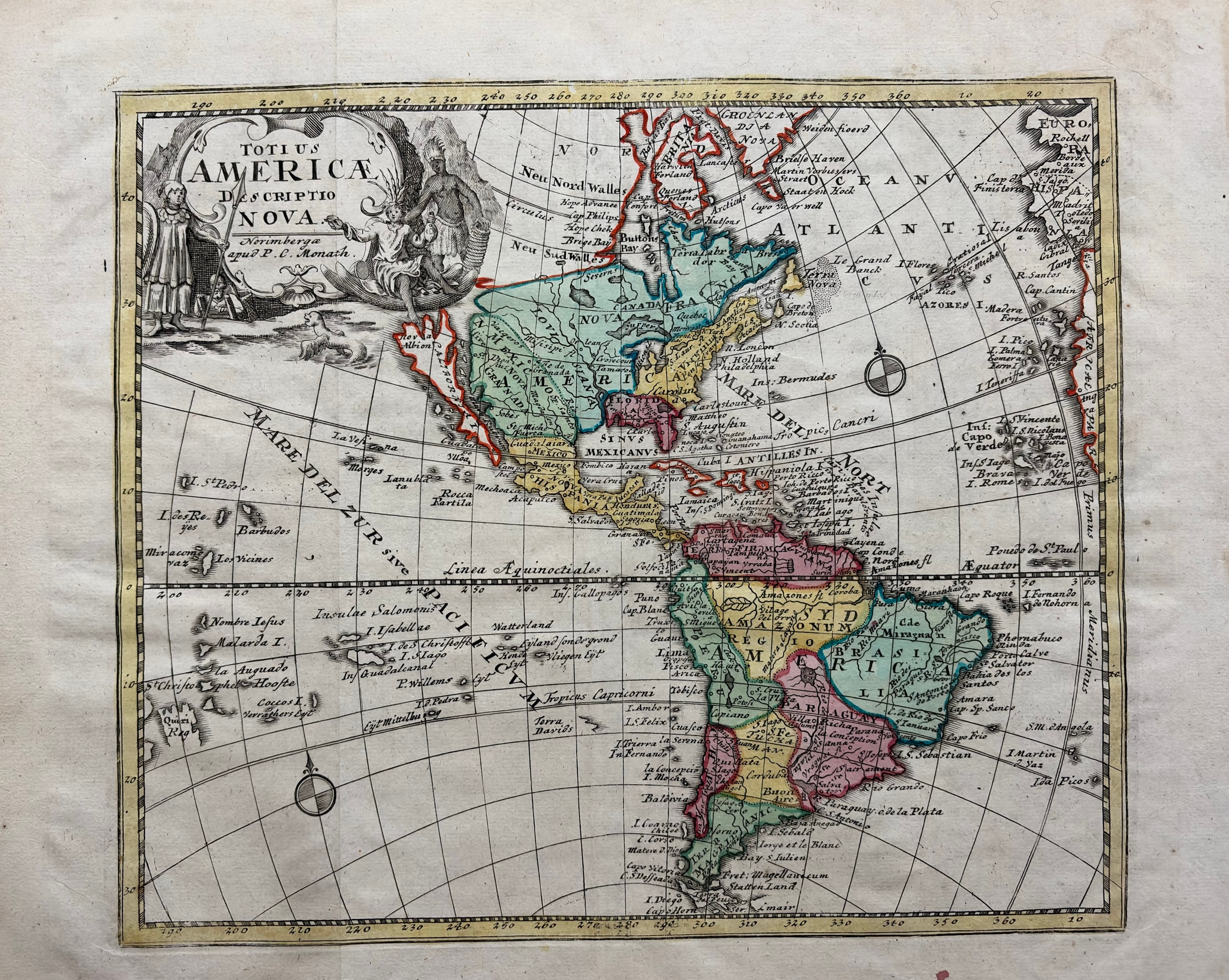
P.C. Monath
Totius Americae Descriptio Nova
c. 1760 · Hand-colored engraving
A striking hand-colored engraving of the Americas published in Nuremberg by P.C. Monath, after the influential cartographic tradition of the Homann firm. The map depicts both North and South America on a single sheet with a dramatic allegorical cartouche in the upper left featuring figures representing the New World. Vivid original hand coloring highlights the continental outlines and regional divisions. California is shown as an island — a persistent cartographic convention of the period. Mare del Zur (Pacific Ocean) and Mare Atlanticum are labeled in period orthography. A handsome and decorative map of the Western Hemisphere.
Dimensions: 12 1/4 x 14 1/4 inches.
Carolina Antique Maps & Prints · Charleston, SC
(843) 722-4773 · Tuesday–Saturday 11am–4pm or by appointment