
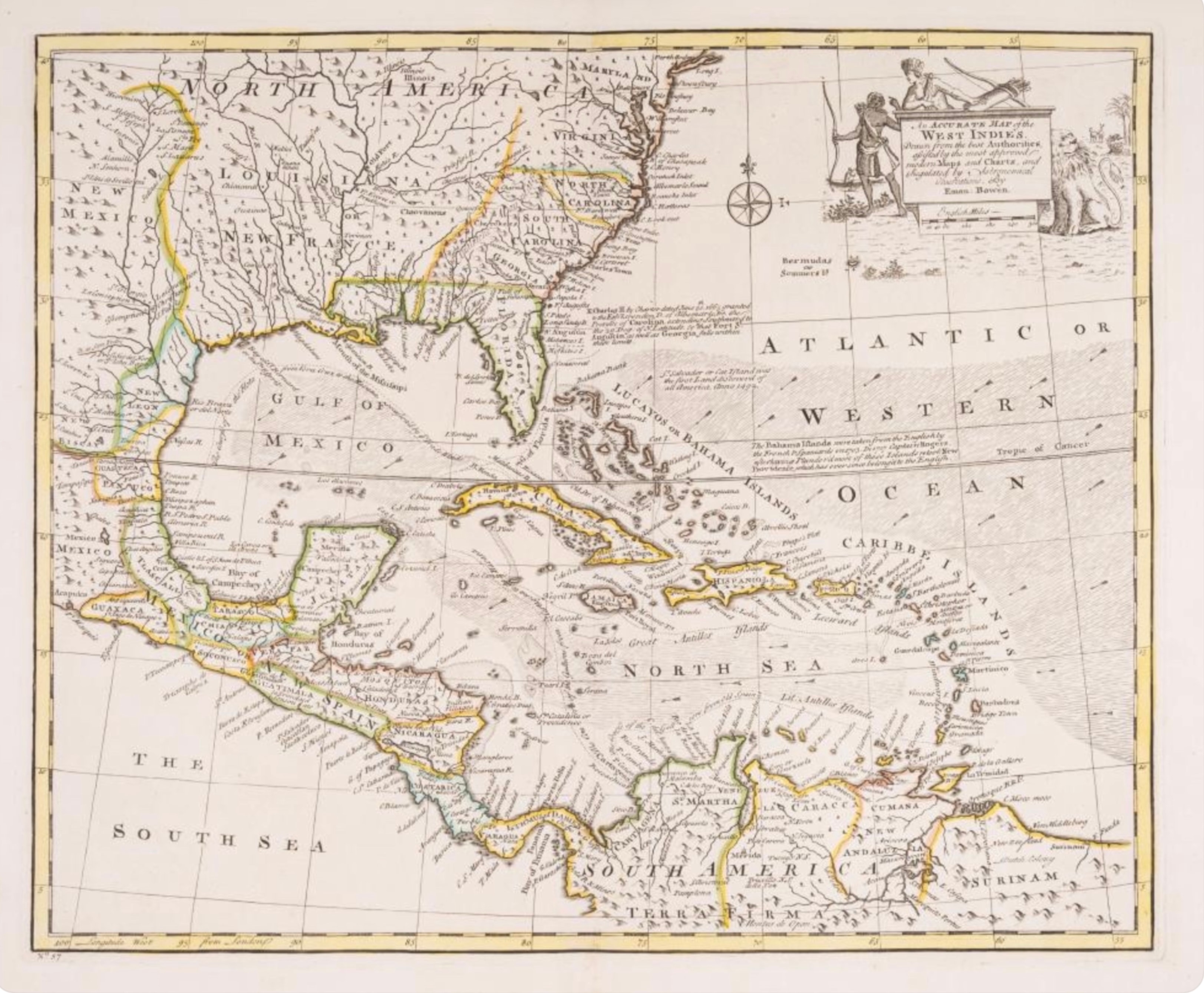
Emanuel Bowen
An Accurate Map of the West Indies
c. 1752 · Hand-colored engraving
A handsome hand-colored engraving of the West Indies and the eastern seaboard of North America by Emanuel Bowen, Geographer to King George II and one of the most prolific English map publishers of the 18th century. The map covers the Caribbean, the Gulf of Mexico, the Atlantic coast from New England to the Gulf, and the eastern portions of New Spain. An elaborate allegorical cartouche in the upper right features figures representing the Americas. Original hand coloring in yellow and green highlights the political boundaries and coastlines. The map includes extensive descriptive text notes within the cartouche referencing the Bahama Islands and the Georgia colony. A fine example of mid-18th century English cartography with strong American colonial interest.
Dimensions: Page size 16 7/8 x 19 inches. Plate mark 13 3/4 x 16 7/8 inches.
Carolina Antique Maps & Prints · Charleston, SC
(843) 722-4773 · Tuesday–Saturday 11am–4pm or by appointment