
John Tallis
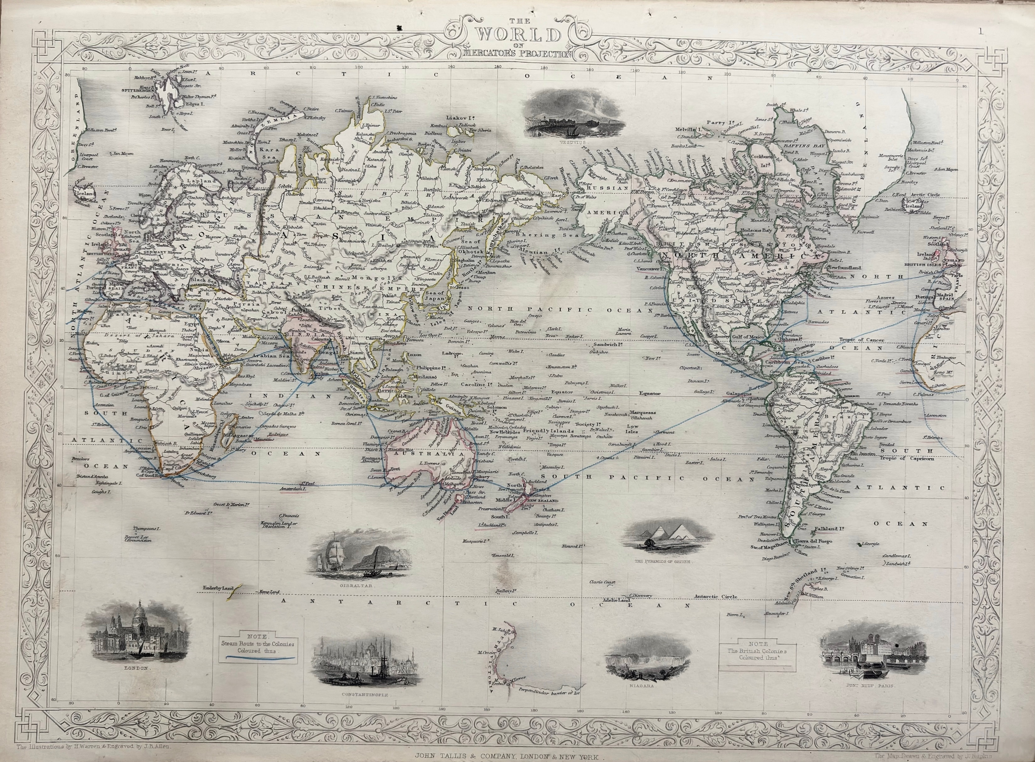
The World on Mercator's Projection
c. 1851 · Steel engraving with original outline coloring
A magnificent and highly decorative steel-engraved world map by John Tallis, published in London and New York by John Tallis & Company — one of the most celebrated English cartographic publishers of the Victorian era. The map presents the entire world on Mercator's projection with exceptional geographic detail. The border is filled with twelve exquisitely engraved vignette illustrations of world landmarks and scenes: London, Constantinople, Niagara Falls, the Pyramids of Egypt, Gibraltar, and others. Steam routes to the colonies are shown in blue, and British possessions are highlighted. Original outline coloring in soft pinks, greens, and yellows. One of the most decorative and sought-after world maps of the 19th century. A large and impressive sheet in fine condition.
Dimensions: 10 3/4 x 14 1/2 inches.
Carolina Antique Maps & Prints · Charleston, SC
(843) 722-4773 · Tuesday–Saturday 11am–4pm or by appointment